Our work
Real land, modelled in 3D.
Finished Visibility Reports for landowners, buyers and developers across Koh Phangan, Koh Samui & Koh Tao. Open any project below to read the complete report.
Finished reports
Browse the full reports
Real Visibility Reports we’ve delivered. Click any project to open the complete PDF.
 29-page PDF
View full report
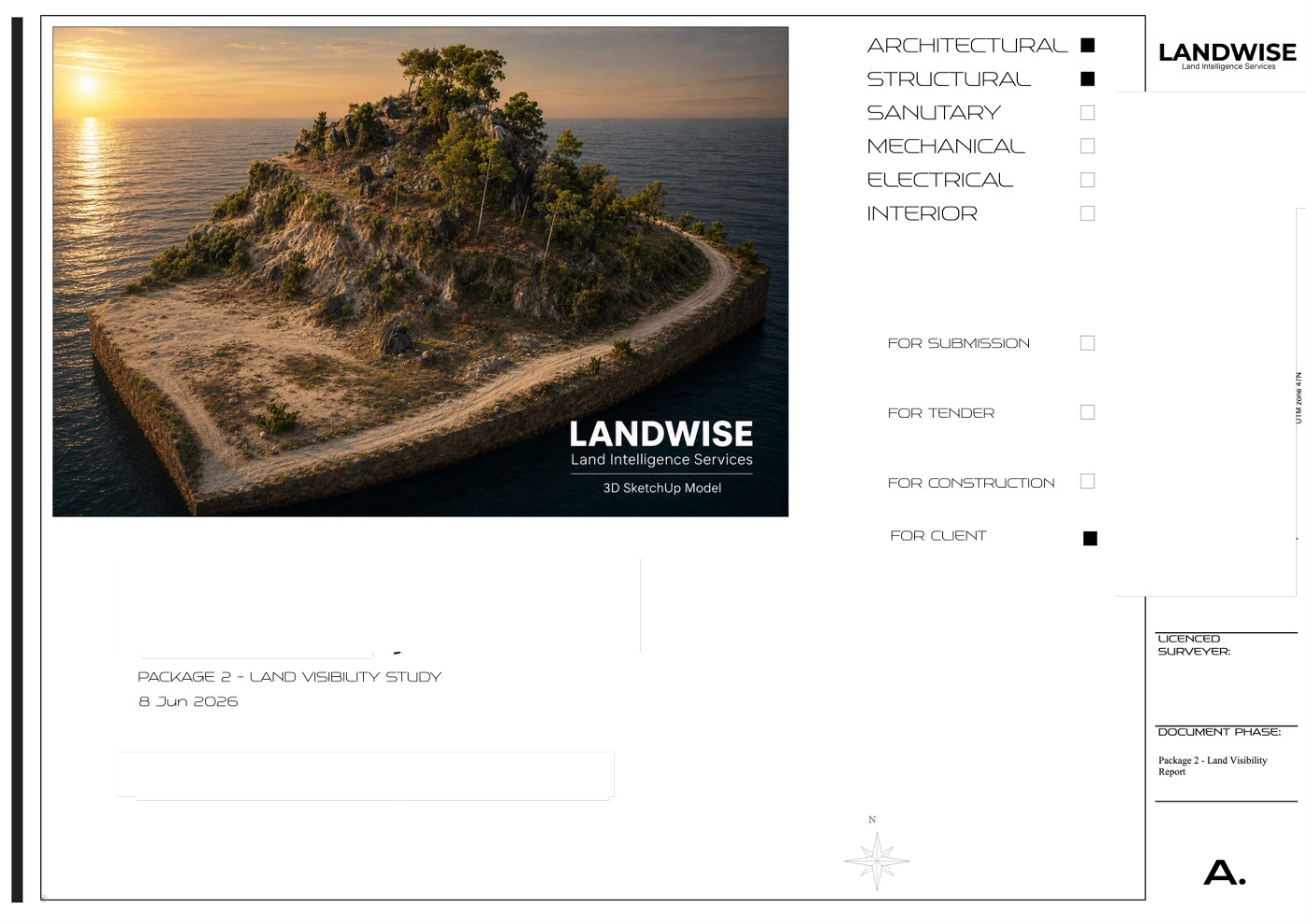
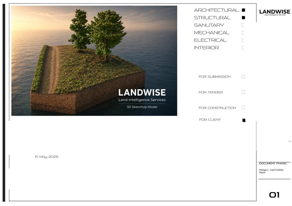
Sienna's Project 0.2Package 2 · Visibility Report · Koh Phangan
 19-page PDF
View full report
Marco's Project 0.3Package 2 · Visibility Report · Koh Phangan
 22-page PDF
View full report
Claire & Antoine ProjectPackage 2 · Visibility Report · Koh Phangan
 17-page PDF
View full report
Mateo's ProjectPackage 2 · Visibility Report · Koh Phangan
 11-page PDF
View full report
Julien's Project3D study · Koh Phangan
 14-page PDF
View full report
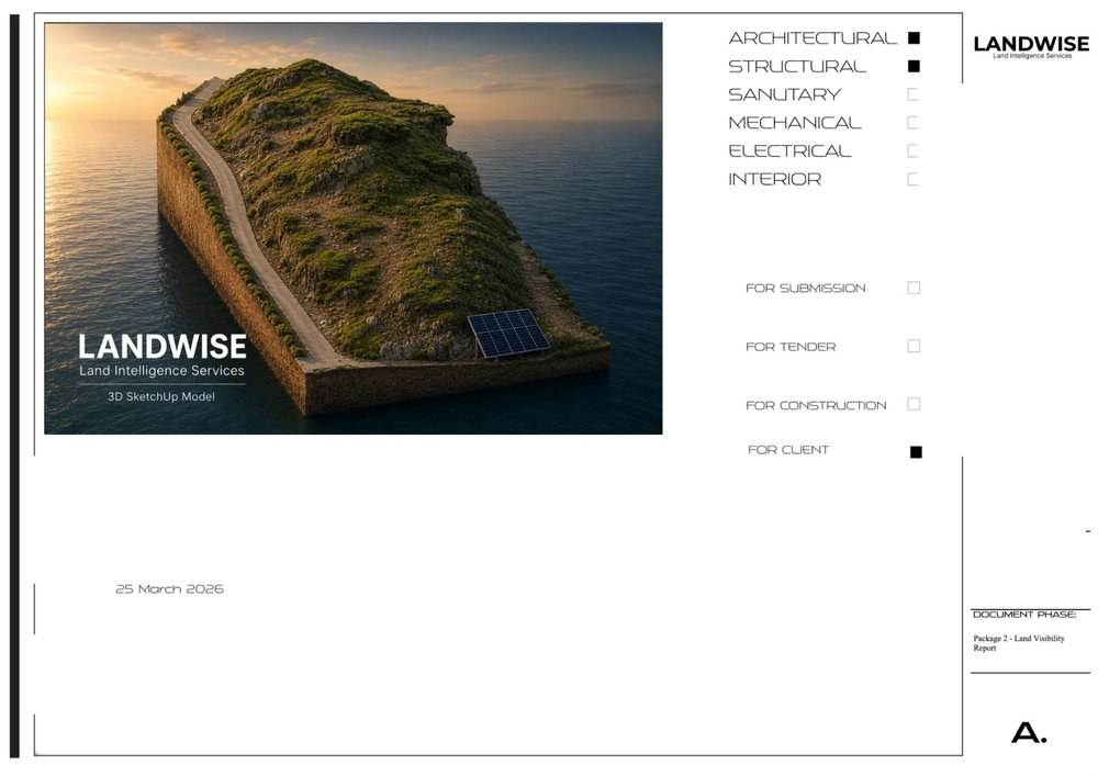
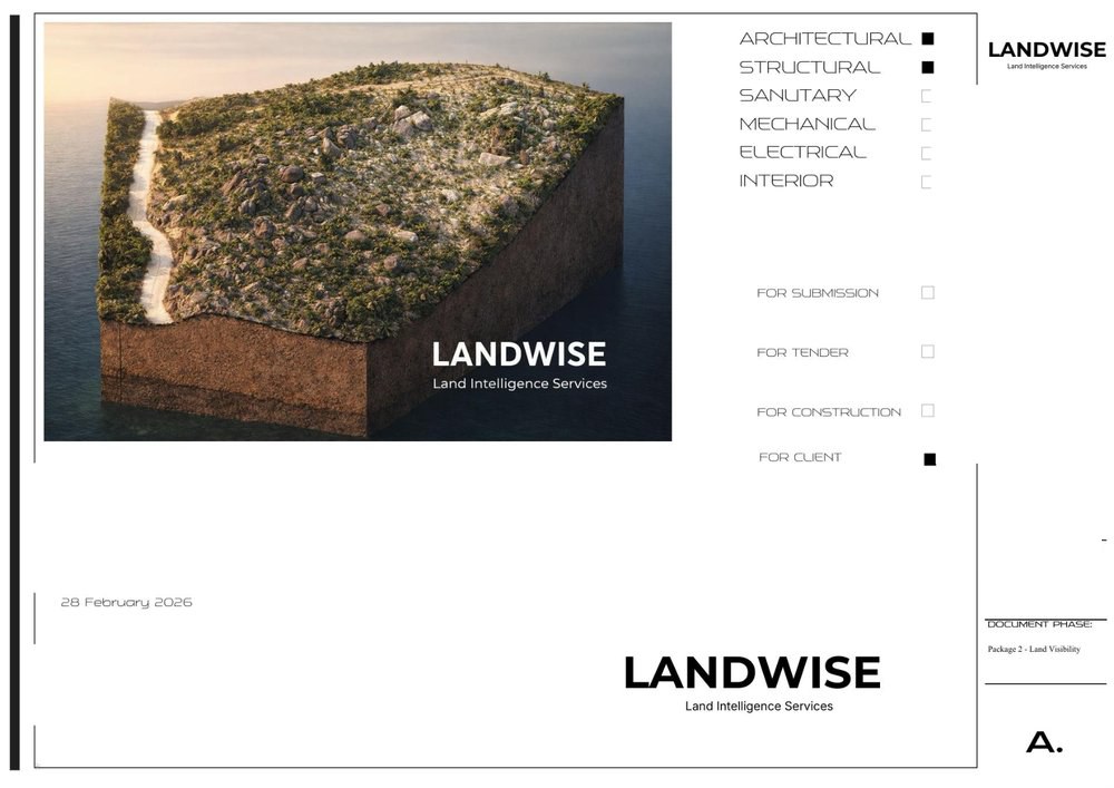
Marco's Project 2.0Package 2 · Visibility Report · Koh Phangan
 23-page PDF
View full report
Sienna's ProjectPackage 2 · Visibility Report · Koh Phangan
 21-page PDF
View full report
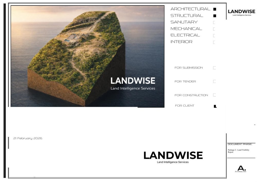
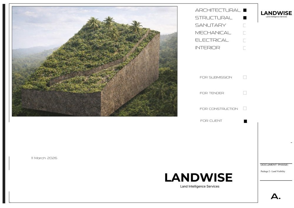
Marco's ProjectPackage 2 · Visibility Report · Koh Phangan
The deliverable
What’s in every Visibility Report
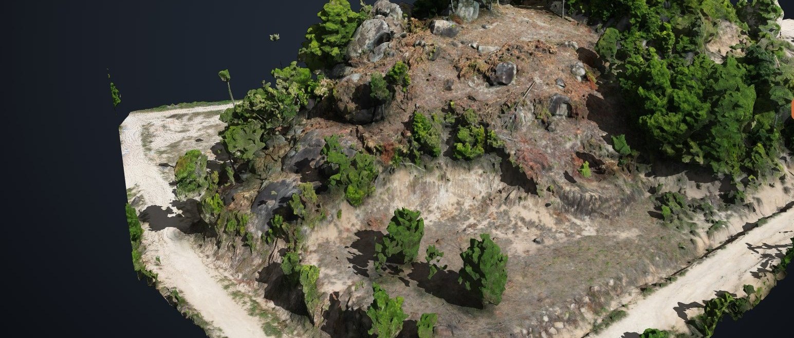
Each report above is built from the same rigorous drone-survey workflow.
Drone survey & orthophoto
Interactive 3D model
Topographic contour map
Slope & buildability analysis
Solar orientation & drainage
Sea-view sightline study
Concept villa feasibility
Photorealistic render
See what your land can do
Buying, selling or building — start with a Visibility Report and decide with confidence.